Published on behalf of Simon Roberts
We know that you, our users, prefer our data when it can be easily visualised and mapped - our deprivation and wellbeing mappers are consistently the most popular pages on OpenDataCommunities. We have therefore begun to open up more of our geographical data in ways that you can download and use over the internet.
As well as this ambition, we also have a legal obligation to make some of our geographic datasets openly available to set standards under the EU INSPIRE directive.
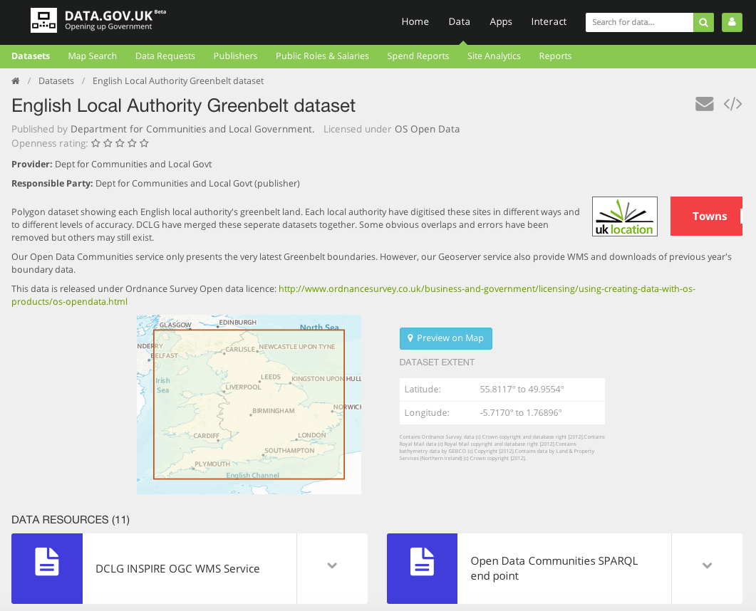
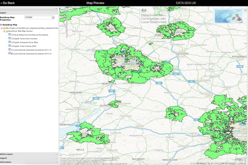
Firstly, we’ve loaded several of our geographic datasets on to the UK’s proposed open source solution for INSPIRE-compliant web services, Geoserver. These include greenbelt boundaries and enterprise zone sites. The datasets are now being made available as viewable ‘web map’ and downloadable ‘web feature’ services, all linked together by their metadata records on data.gov.uk. We can easily update these as and when required.
We are also using this new tool for making many other geographic datasets available over the internet for various web application and interactive visualisations. See Steve Peters’ personal blog for some examples.
Secondly, we’ve created a tool that turns some of these geographic datasets into linked data.
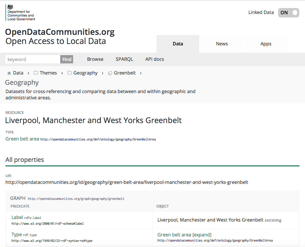
These were published in October and we hope that our users will begin to start using them to create things like this web application.
Is there extra functionality you’d like to see? Or other geographic datasets you want us to publish in this way? Do share your thoughts in the comments below or by email at ODC@communities.gsi.gov.uk.