To continue exploring our datasets, return to MHCLG Open Data
Welcome to the new look MHCLG Open Data. We've been working on some changes to the way that our open data site works, and here's a summary of things that we've put in place. These changes are in part a response to the user engagement review conducted last year.
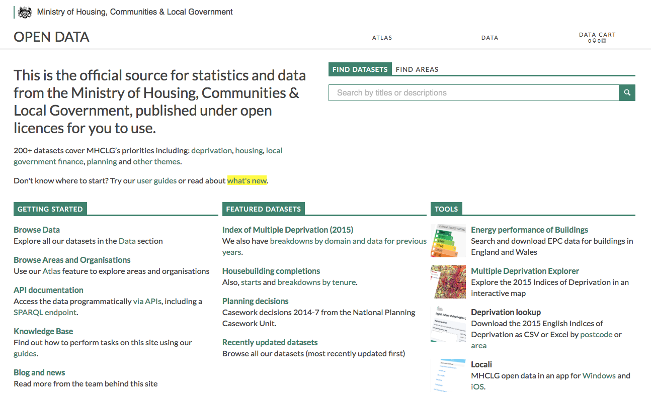
Apart from a new home page layout and rebrand, we've developed a new way for you to work with areas: The Atlas.
As before, the site contains datasets which are structured by statistical and administrative geographies. And the Atlas still allows you to browse and navigate through lists of related areas, as well as find stats about an area. But Atlas additionally now has the following features:
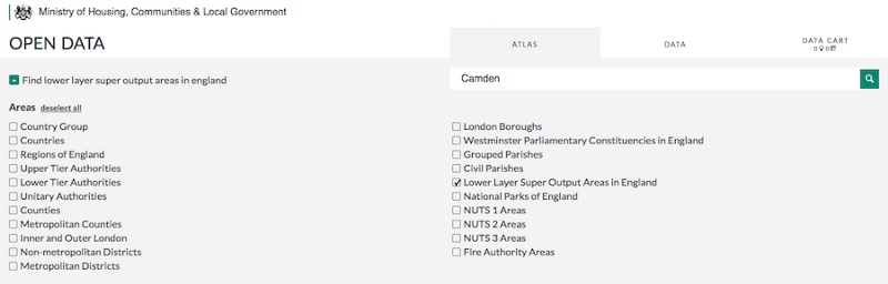
Filterable search######
Find areas by type. Filter down to the areas that are of interest to you by selecting / deselecting as you need:
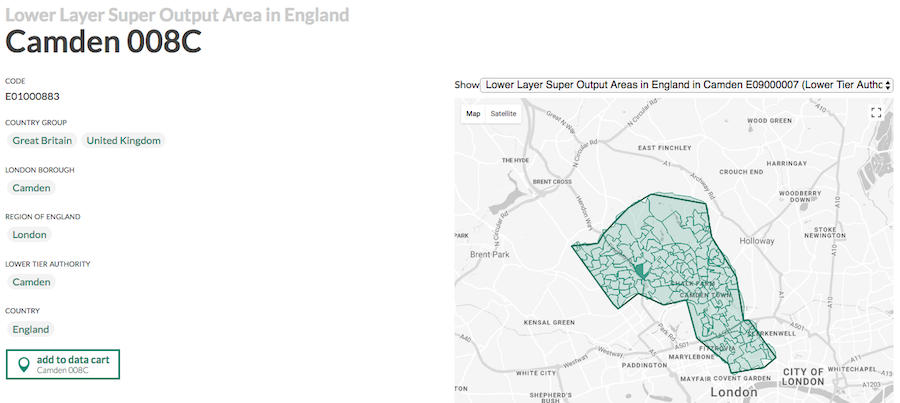
Interactive Mapping######
This allows you to see how smaller geographies relate to the larger areas that they're nested within. This is particularly useful for selecting a collection of small area geographies such as data zones.
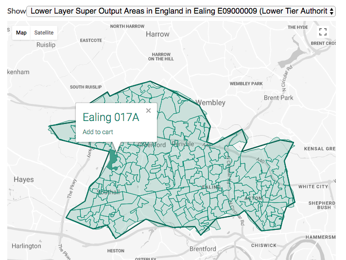
Using the map when making dataset collections######
You can also use the map to add individual geographical units to your Data Cart, when making bespoke collections of geographies and extracts from datasets.
For more detail on using the Atlas (and the rest of the site), head to the MHCLG Open Data Guides, or just start browsing our data here: MHCLG Open Data.
We're not stopping here though: we're constantly working to improve the service. If you have any thoughts or suggestions for improvements (to site content or functionality), please get in touch by emailing ODC@communities.gsi.gov.uk.